a globe is a model of the earth

Places on paper
You can’t put a globe in your pocket. A big, round globe is too bulky to
carry from place to place. That’s why there are maps. Travelers can
easily fold paper maps to take with them.
Besides being easy to carry, maps can show a small part of the earth in
detail. If you are looking for a small town or a street in a city, you
can find it on a map but not on a globe. There isn’t room on a globe for
such places—even a very large globe.

Maps make the earth look flat. They are drawn as if you are high up,
looking straight down on the land. When you look at a map, you can see
what’s beyond a forest or on the other side of a mountain.
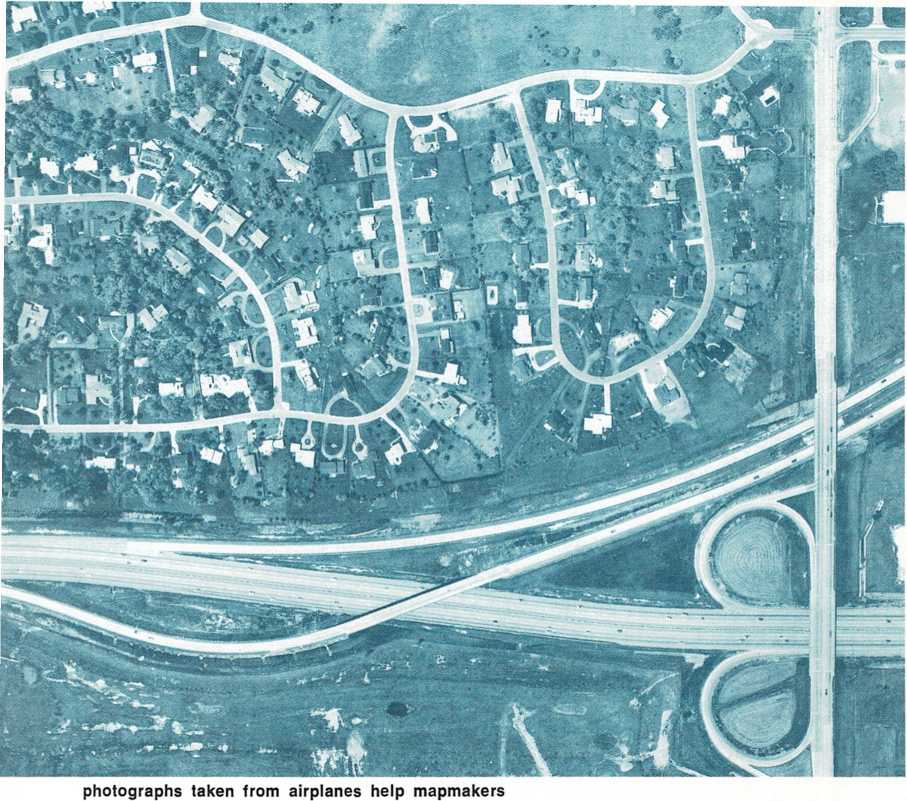
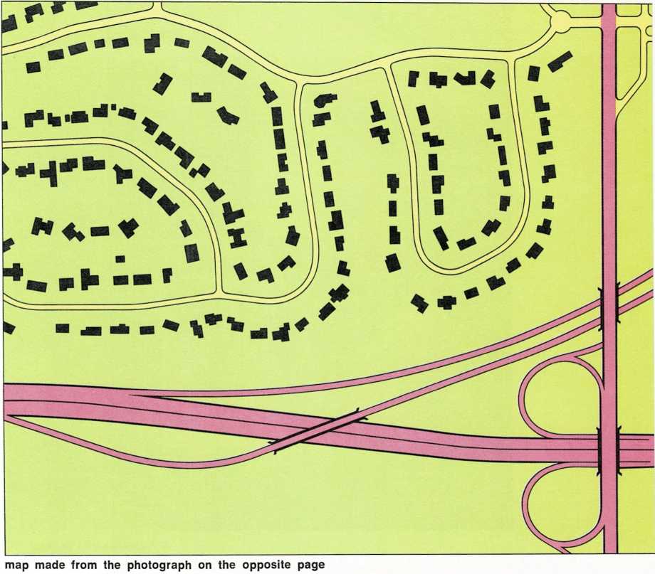
How do the people who make maps know so much? They learn about the earth
in many ways. But the best way is to use photographs taken from an
airplane or satellite. The photographs are put together like pieces of a
puzzle. Using the photographs as a guide, the mapmakers—who are called
cartographers—draw their maps. They pick only the places that may be
important to people who will use the maps.

